by Dinesh Burad
The silhouette of bare naked branches or full blooms against the backdrop of universal blue sky; steep ravine slopes and cool bottomlands – the contours of High Park are forever inspiring people to seek recreation, adventure, sports, celebration, contemplation and an active life.

The Topography of High Park
Topographically High Park is a large plateau deeply dissected by two major stream valleys and associated tributary valleys. To give a general sense of orientation while in the park, think of Bloor Street as North, Parkside Drive as East, and Lake Ontario as South.
A contour map in University of Toronto Library’s digital map collections shows the highest elevation contour in High Park can be found adjacent to the Bloor Street entrance of the park at 165 feet (50.3 m). From here the contours run downhill to the lowest contour along the shore of Grenadier Pond at 45 feet (13.7 m). Between these levels lies High Park’s rich tapestry of sandy loam soils and deep ravine landforms supporting terrestrial and wetland systems.
")
High Park’s topography supports its distinctive vegetation
The topography of High Park and its soils are the legacy of the last Ice Age 12,000 years ago. Located on the Iroquois Sand Plains, the vegetation in High Park is well-adapted to its topography, soils and watercourses.
High Park’s vegetation is transitional between the southern Carolinian forest zone (a floristic region that reaches its northeasterly limit near Toronto) and the northern Boreal forests (mixed hardwood zone which extends north and east through central Ontario and Quebec.)
Uplands
In the upland areas of the park the well-drained soils, southern exposure and dry microclimate have nurtured colonization by prairie and savannah plant communities. Black Oak woodlands and moist Red Oak forests cover these rolling uplands, with an understorey of grasses, wildflowers and low shrubs. Wild Lupine occur in abundance on the open plain barrens (i.e., areas lacking trees) and on the oak-covered hills. The barrens contain groves of Sassafras, Dry land Blueberry, Black Huckleberry and a variety of prairie grasses and wildflowers.
Looking towards Bloor Street from the swimming pool and skating rink area, let the thought cross your mind that you are in one of the largest surviving Oak Savannahs in Ontario today. In 1989, the Province designated High Park’s remaining Black Oak Savannah/Woodlands as an Area of Natural and Scientific Interest (ANSI), and it continues to recognize the Park’s ecological significance.
Ravine Bottomlands
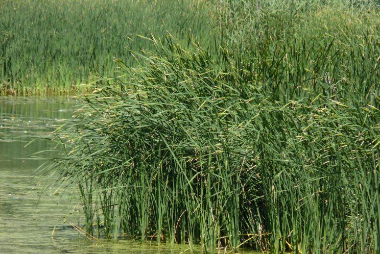
In contrast, ravine bottomlands, with their moister microclimates, contain cool mixed swamps with many northern species. These included mixed forests of oak, maple and hemlock, and water-loving shrubs, trees and marsh plants.
Sources
- University of Toronto, Digital map collections - online “Map of High Park showing contours every 5 feet” created around 1924 by Toronto Parks division.