Adapted from an article by Ron Allan that first appeared in High Park News, Winter 2006.
Historical course of Wendigo Creek
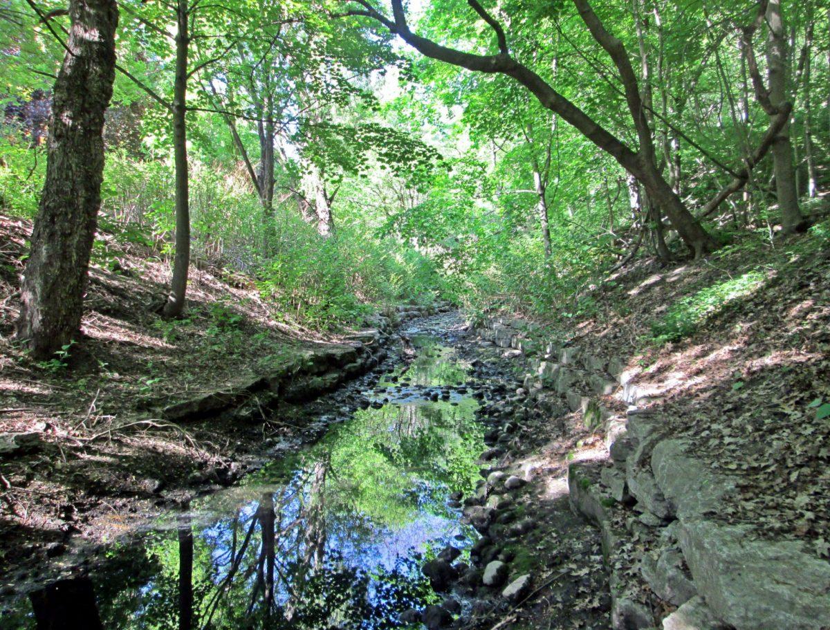
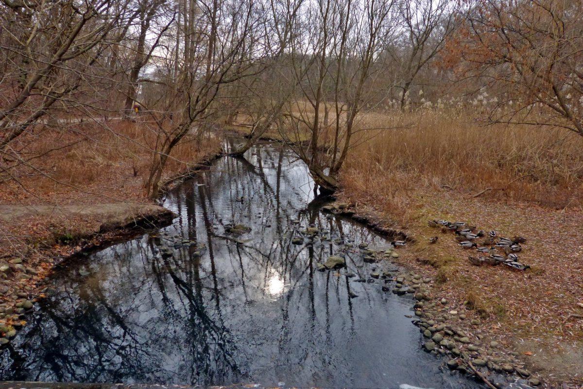
Wendigo Creek, which now flows through a ravine in the northwest corner of High Park, originally started near today’s Dundas and Laws Streets. Like Spring Creek on the east side of the Park, Wendigo and its tributaries are clearly shown on old maps but not identified by name. As the neighbourhood was developed, Wendigo Creek’s upper section and tributaries were either filled in or run into the storm sewers that join the stormwater catchment area in the Park’s northeast corner.
Early maps show the main stream flowing south down Laws Street in a shallow ravine to what is now Ravina Gardens Park (the origin of the park’s name is obvious). At this point, the main stream was joined by a tributary from the east, the course of which is mirrored today by a section of Glendonwynne Road. The creek continued in a southwesterly direction crossing today’s Glenlake Avenue. Here it met a branched stream flowing from the west and originally extending as far as Durie Street.
The creek then flowed in a southeast direction through a deepening ravine towards present-day Bloor Street where it changed direction and crossed into what later became High Park. From there, Wendigo Creek flowed into a bay or lagoon on Lake Ontario. In time a sandbar built up across the base of the bay providing a route for native people to the Humber River. The sandbank maintained the connection to the Lake, allowing water to flow over and through the sand in both directions and essentially defined the future Grenadier Pond. The direct connection to Lake Ontario was destroyed in the 1850s when the railway was built along the lakeshore. The water still exits to the Lake, however, via a long pipe to the Humber River.
Walk through the neighbourhood north of Bloor Street and Clendenan Avenue, observing the twists and contours of the streets and some residual stream banks, to quickly identify the original paths of Wendigo Creek and its feeder streams.
The Name
The origin of the name "Wendigo" is not clear. It is known that native peoples lived in the area thousands of years ago and that they recognized the Wendigo, a half-human, half spirit apparition. It would be fanciful, however, to conclude that the stream was known to native peoples by that name. It is possible, however, that it was called Wendigo Creek locally when John Harvie bought land in the vicinity in the early 1900s and began to build houses for his friends and family. Presumably this was how the short street running beside the Creek took the name Wendigo Way.
Wendigo Creek as Toronto Developed
In the mid 1800s, David Kennedy bought some 40 hectares of land on the north side of Bloor Street from Runnymede Road (then called Elizabeth Street) to just beyond the present Clendenan Avenue. The L-shaped property, which Kennedy called Lakeview Park, included the lower part of Wendigo Creek in a deep ravine. In later years, Kennedy opened up that area of his estate to the public. He even dammed up part of the Creek to provide pools, which he stocked with salmon for the enjoyment of visiting fisherman. The Kennedy Ponds are still shown on maps drafted in the 1920s. Eventually, this valley area was developed with Oakview Avenue and Birchview Crescent being laid out in parallel with the course of the creek and the ponds.
By the late 1800s, the area to the north and east of Kennedy’s property had begun to develop and coalesce into what became West Toronto Junction. Upper Wendigo Creek and its tributaries were buried or run into storm sewers, local streets being built along their former paths or stream banks
In 1889, Col. St. Jean Leger, a west Toronto alderman (later mayor), built a sizeable house at 32 Gothic Avenue, at the edge of the ravine. The house and property were purchased in 1907 by Dr.W. J. McCormick who established a sanitarium on the site. He promoted vegetarianism, diet reform and natural living and had two swimming pools or mineral baths dug for the use of the patients. McCormick eventually gave up his sanitarium and rented the building to the Strathcona Hospital. By now, due to public demand, the swimming pools, which were locally called the High Park Mineral Baths, were taken over by the City and opened up to the public. A fee was charged for their use.
The Mineral Baths remained in operation until the late-1960s when the subway line was extended westwards from Keele Street, destroying them in the process. After the hospital pulled out, the St. Leger house was used by various groups on a temporary basis. Today, it has been developed into the Gothic-Estate condos, although the main facade of the historic house is preserved.
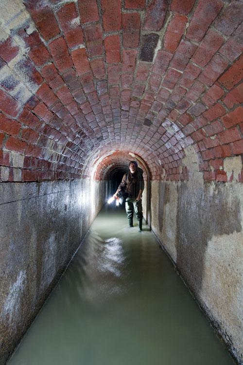
Where the lower part of Wendigo Creek crossed Bloor Street, the steep drop presented a considerable barrier to movement to the west and subsequent development, being some 15 metres lower than the present road bed. In 1915, the City began filling in the ravine, after enclosing the Creek in a conduit at the bottom. This allowed the desired egress to the west. The enormity of the filling process can be appreciated by walking along the northern edge of High Park east of Clendenan Street to view the original ravine bottom far below. There is still a considerable depression in Bloor Street at Clendenan Avenue, essentially at the centre of the original ravine.
Wendigo Creek Today
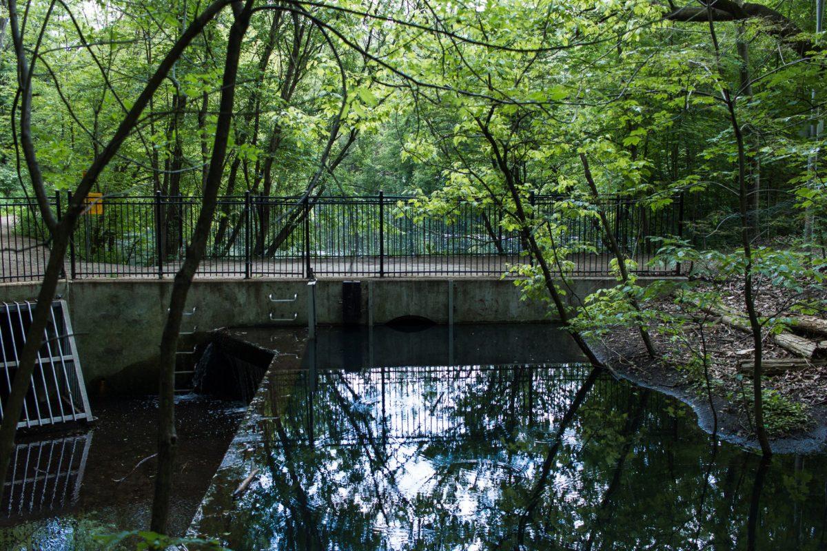
Today, Wendigo Creek serves a 42 hectare stormwater catchment area north and northwest of High Park. A remnant of the Creek exits from a culvert near the northwest corner of High Park and flows into a settling pond (Wendigo Pond) which removes some of the debris - paper, leaves, sand, etc. - picked up by the storm sewers. The pond has been dredged several times since it was installed in 1996 (most recently in the winter of 2014/15), replacing an earlier, much smaller, settling pond. From there the Creek water enters the marshy north end of Grenadier Pond.
Dissolved contaminants, however, like phosphorus, e.coli from bird and animal droppings and salt in the winter flow through to the Pond. The result is excessive algae growth which is detrimental to pond inhabitants. E.coli from the Pond and other sources finally ends up in Lake Ontario, limiting the Western Beaches suitability for swimming and bathing.
NOTE: Specially designed treatment wetlands have since been installed in the southwest corner of Grenadier Pond and elsewhere in the area to ameliorate this situation.
Sources
Adapted from an article by Ron Allan that first appeared in High Park News, Winter 2006.
See also
- Natural History of Toronto's High Park
- Spring Creek
- Laurentian River
- Geology of High Park
- High Park Underground
- Stormwater Ponds in High Park
- Torontoist. Historicist: Swimming at the Minnies. Article about the Mineral Baths.
- Lost Rivers article by Frank Remiz, first appeared in the West Toronto Junction Historical Society's newsletter, The Leader and Recorder, Spring 2012

